Projects
 |
Multi-Layer Raster Coupling with Directional Constraint Coding: A Discrete Spatial Modeling Method for UAV 3D Path Planning
ESRI Cup / GIS Algorithm Design
A discrete spatial modeling method using directional constraint coding and multi-layer raster coupling for urban low-altitude UAV 3D path planning, winning first prize in the Geographic Design track of the ESRI China National GIS Software Development Competition.
|
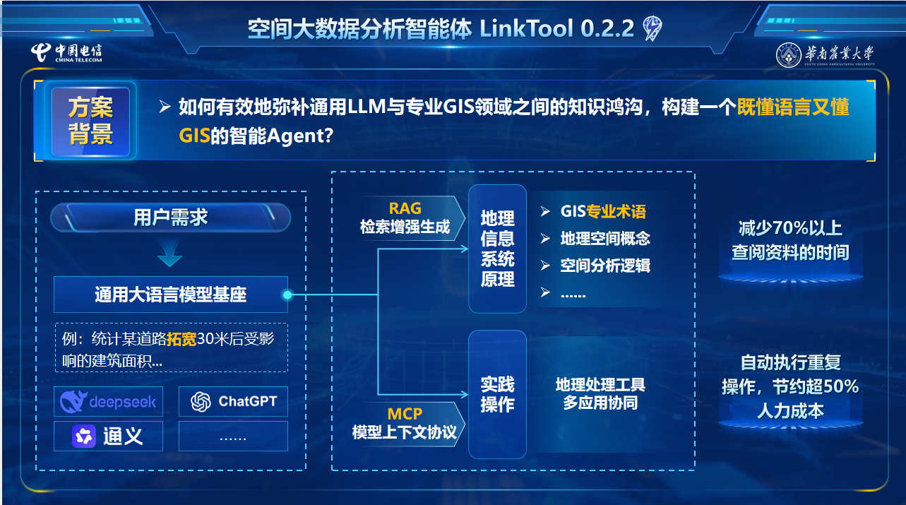 |
LinkTool v1.0 — A Natural-Language-Driven GIS Analysis Agent Based on the Model Context Protocol
GIS Agent / MCP Plugin
An ArcGIS Pro agent-plugin prototype based on large language models and the MCP protocol, exploring natural-language access to commonly used spatial-analysis tools.
|
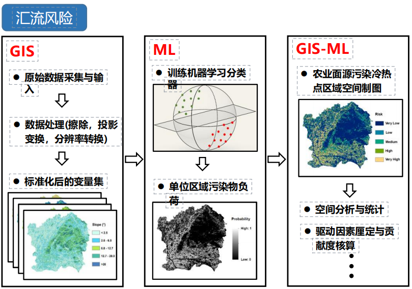 |
Macroscopic Simulation Analysis of Nitrogen and Phosphorus Loss Patterns
Innovation Training / Agricultural NPS Pollution
A university-level innovation training project exploring a 'plot-watershed-model' analysis approach that combines LOADEST, InVEST, machine learning, and GIS for agricultural non-point source pollution risk assessment.
|
 |
Village-Scale Reality 3D Modeling with UAV Photogrammetry — A Case Study of Beigen Village, Zhaoqing
Geographic information engineering fieldwork / Digital village
A reality 3D model and village geodatabase created from UAV oblique and nadir imagery, road and POI field surveys, and GIS processing for village visualization and spatial analysis.
|
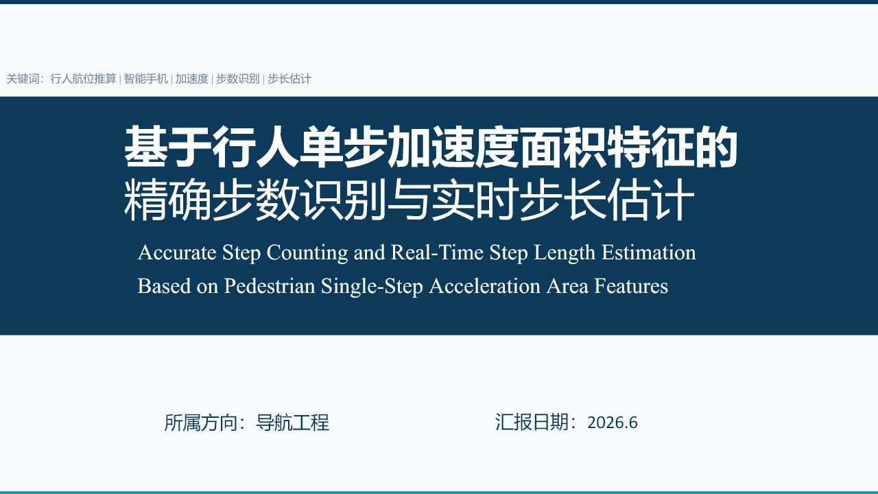 |
Accurate Step Counting and Real-Time Step Length Estimation Based on Pedestrian Single-Step Acceleration Area Features
Surveying and Mapping Competition / Scientific Paper Track
A 2026 Scientific Paper Track study that uses single-step acceleration area features for both step detection and step-length estimation, providing gait-event and per-step displacement estimates for smartphone PDR.
|
 |
Education for a Rising Bay Area — A Spatial Study of Education through the Development Story of the Greater Bay Area
ESRI Cup / Story Map
A story-map project linking individual education experiences with multi-source spatial data to examine school siting and educational-resource allocation across the Guangdong–Hong Kong–Macao Greater Bay Area.
|
 |
Reducing Carbon, Enhancing Aroma — Circular Farming and Intelligent Pest Regulation for Zijin Cicada Tea
Challenge Cup and Energy Conservation & Emission Reduction Competition / Low-carbon agriculture
A proposed system combining waste co-composting, intelligent leafhopper monitoring, and pest-informed fertilization, with image recognition and GIS used to assess low-carbon production pathways for Zijin cicada tea.
|
 |
Reflections of Didou — Revitalizing an Old Cinema as a Township Living Room
Challenge Cup / Rural renewal and cultural-tourism planning
A renewal proposal for an old cinema in Didou Town that preserves its historic character and plans spaces for meetings, exhibitions, fitness, heritage experiences, and local-product promotion.
|
|
 Loading...